
Three nodes, one corridor, forty years.
NetX Gen is developing a regenerative corridor in Argentine Patagonia: three territories with complementary functions, operating as one system rather than three unrelated real estate projects.
What fails isn't the projects. It's what sits between them.
Regenerative land projects have been failing for the same reason for fifty years: each one solves its land, its community and its production model, and none of them solves the legal and economic vehicle that would let it be replicated. Auroville, Damanhur, the Venus Project — all of them stayed single demonstration centres, not because the model doesn't work, but because there was no structure for a second one to exist.
The corridor inverts the order. Instead of perfecting one place and hoping it gets copied, it builds what's shared first: the legal framework, the coordination between territories and the data infrastructure. Each node's development rests on that.
The node architecture doesn't imitate technology, it imitates life. A forest coordinates resources and information between different trees through a network of roots and fungi, with no centre giving orders. That's the shape of the corridor, and it's what makes adding the tenth node cheaper than adding the second was.
Three territories whose functions don't overlap.
Río Negro Valley
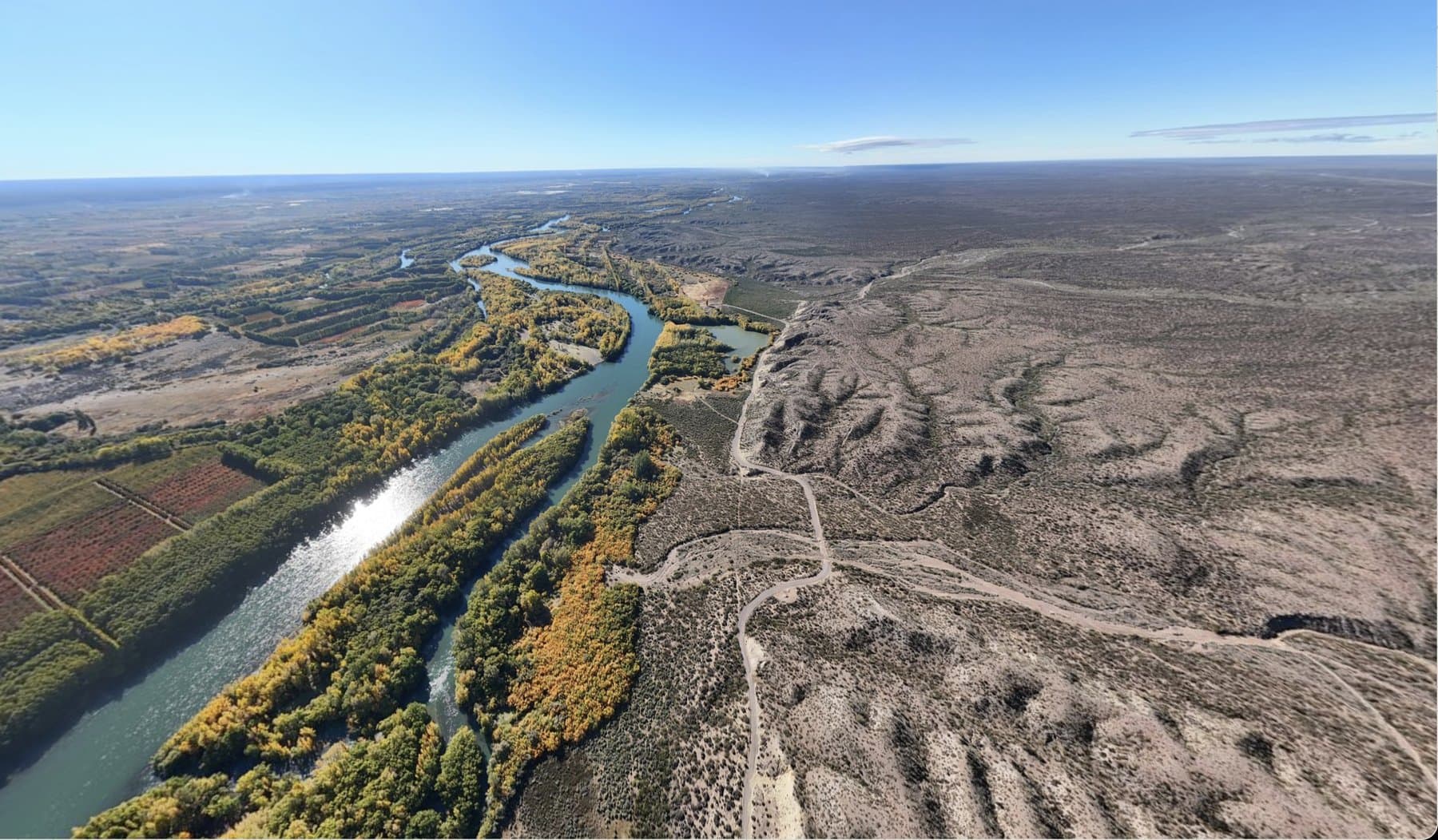
The productive node. Ten thousand hectares in the Alto Valle, with twelve kilometres of riverfront, a century-old irrigation system and export-grade fruit and vegetable production already in place. It generates food, and it has the shortest return cycle.
San Martín de los Andes
The habitat development. Two hundred hectares of Andean-Patagonian forest twenty minutes from town, with forty hectares set aside as permanent nature reserve. In structuring, ahead of the master plan.
South Atlantic
The logistics node. The port access that would connect the corridor's production to market. It's the furthest stage, and it has no identified site yet.
The South Atlantic, put precisely.
The corridor's third node is port access on the Atlantic coast of Río Negro: the connection between the corridor's regenerative production and the world. It's what turns the other two nodes into a system with its own route to market, rather than two developments dependent on someone else's infrastructure.
It is at an early exploratory stage. There is no identified site, no closed conversation with any port, and the horizon is 2032 to 2040. That's exactly why it's told here rather than on a page of its own: there's a thesis, and the project is still to come.
Two businesses, not one.
Regenerative land development
Acquisition, master planning and development of the corridor's territories, against verifiable preservation and production standards. This is the vertical with hard assets behind it and the more predictable return cycle.
Network coordination
The infrastructure connecting nodes to each other — impact data, shared governance and internal marketplace. It holds no physical asset, and it's the reason the corridor is worth more than the sum of its land.
Three layers, in this order.
- 01
Physical layer
The territory: land, water, energy, housing and production. It's the layer you can touch, and the one that economically sustains the other two.
- 02
Legal layer
ZEEIR, the corridor's legal and economic substrate. It's what lets a model proven at one node be installed at the next without rebuilding the structure from scratch — the vehicle the historical projects lacked.
- 03
Digital layer
Impact measurement across the five capitals, governance between nodes, and the network's internal marketplace. It's what makes the whole auditable rather than declarative.
The infrastructure we're building.
The territory that grounds the network.
Lighthouse (San Martín de los Andes) and Biopueblo (Río Negro Valley) are the corridor's first two nodes: regenerative development under the five-capitals model, not land extraction.
The Patagonian corridor, step by step.
Phase 0
Activating the integrated ecosystem: corridor investment deck + Platform MVP with Quinta Esencia.
Phase 1
Master Planning for Lighthouse (SMA) and Biopueblo (VRN). Complete data room.
Phase 2
Construction begins on the corridor's first two nodes.
Expansion
Atlántico Sur, the third node — the logistics and port hub that completes the corridor.
The horizon is 2027–2040. Each phase starts when the previous one closes, not on a fixed date.
The material comes with a conversation, not a download.
We'd rather send materials after a first conversation, so they arrive with the context of the part of the corridor you care about. Write to us describing where you're looking at this from, and we'll set up a call.
Request a conversationThere is no open data room. The corridor's figures are being consolidated, and we won't publish projections we can't defend line by line.